Mobile Robots
SLAM, Reflectors, Magnetic Tape: Navigation Compared
Five ways a mobile robot knows where it is, compared on accuracy, installation cost, robustness to layout change and where each one silently fails.
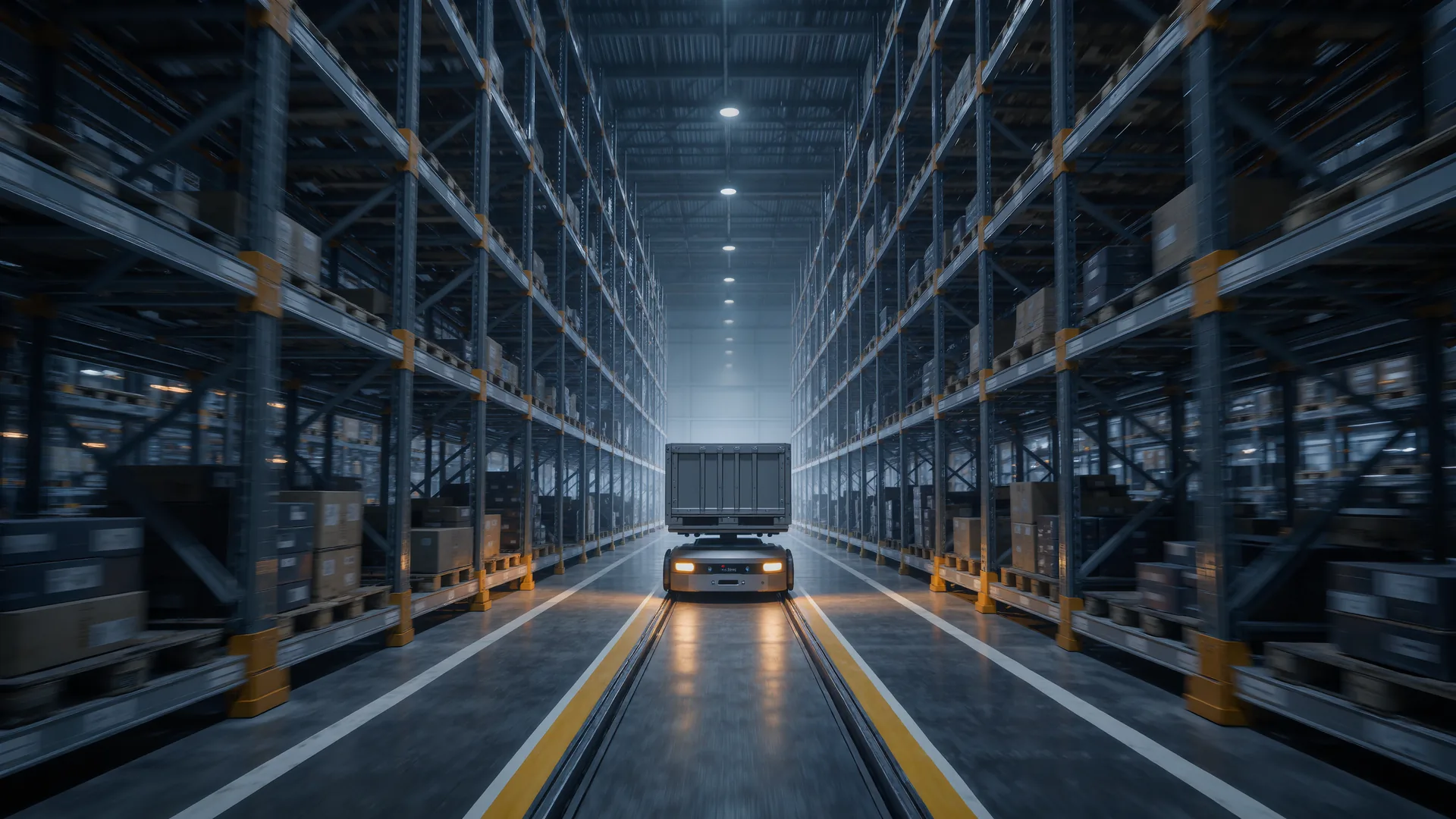
Choose by how often the layout changes, not by how modern the technology sounds. Magnetic tape gives ±5 mm for 20 to 80 euro per metre and forgets nothing, reflector triangulation gives ±10 mm across a whole hall, and laser SLAM gives ±20 mm to ±50 mm with no floor work at all. SLAM is the only method that tolerates a warehouse being rearranged, and that is usually what the decision turns on.
The five methods
| Method | Accuracy | Installation | Tolerates layout change | Fails when |
|---|---|---|---|---|
| Inductive wire | ±5 mm | Cut into the floor | No | Route must change |
| Magnetic tape or spots | ±5 to ±10 mm | Stuck to the floor | No | Tape wears or is driven over by forklifts |
| Reflector triangulation | ±10 mm | Surveyed reflectors on walls and racking | Partly | Fewer than three reflectors visible |
| Natural feature SLAM | ±20 to ±50 mm | A mapping drive | Yes | Long featureless corridors, full racking changes |
| Visual SLAM and markers | ±10 to ±40 mm | Markers or a mapping drive | Yes | Poor or changing lighting |
What SLAM actually does, and where it breaks
Simultaneous localisation and mapping builds a map from sensor observations while estimating the robot's pose within it. In production most systems run in localisation mode against a pre-built map, matching the current laser scan to stored geometry and correcting the odometry estimate continuously.
Two failure modes matter in practice, and both are geometric rather than algorithmic.
- Featureless corridors. A long straight aisle with identical racking on both sides constrains the lateral position well and the position along the aisle badly. The estimate drifts down the corridor until a distinctive feature appears. Fixes are cheap: a pillar, a marker, or a deliberate asymmetry every 15 m to 25 m.
- Global change. If 60 % of the observed geometry changes, for instance after a full racking rearrangement, the map no longer matches and localisation degrades or fails outright. Re-mapping is quick but it has to be scheduled, and a robot that localises against pallets rather than structure will need it constantly.
Hybrid is the normal answer
Very few production fleets rely on one method. The common arrangement uses SLAM for the free-space transit, where centimetre accuracy is sufficient, and a local method for the final docking, where millimetres matter.
- Docking markers. A reflective strip or visual tag at the station gives ±3 mm to ±10 mm on the last 500 mm of approach.
- Mechanical funnels. A tapered guide on the receiving fixture converts a ±30 mm arrival into a mechanically exact position, and it costs almost nothing.
- Wheel odometry plus IMU fills the gaps between scan matches, which is what keeps motion smooth rather than twitchy.
What the sensor choice costs
Navigation method and sensor hardware are separate decisions, and the sensor bill is usually the larger one. A 2D safety laser scanner, which most vehicles need anyway under ISO 3691-4, doubles as the SLAM sensor at no extra cost, which is why 2D laser SLAM became the default. Adding perception beyond that is a deliberate purchase.
| Sensor | Purpose | Typical range | Note |
|---|---|---|---|
| 2D safety laser scanner | Protective field plus localisation | 5 to 30 m | Required for safety, reused for SLAM |
| 3D lidar | Overhanging obstacles, richer maps | 20 to 120 m | Catches forks and shelf edges a 2D scan misses |
| Depth camera | Low obstacles, pallets, people | 0.3 to 8 m | Struggles in direct sunlight near doors |
| Wheel odometry | Motion between scan matches | continuous | Drifts badly on wet or dusty floors |
| Inertial measurement unit | Heading between corrections | continuous | Drift of degrees per minute if uncorrected |
The 2D limitation is worth stating plainly. A single scanning plane at 150 mm above the floor sees a pallet leg and misses the fork tines resting 300 mm above it. Robots operating where forklifts park need either a second plane or a 3D sensor, and this omission is a common cause of collision damage in mixed traffic sites.
Choosing in five questions
- Will the route exist unchanged in three years? If yes, tape or wire is cheap and extremely reliable.
- Is the floor shared with forklifts? Tape gets destroyed. Choose reflectors or SLAM.
- Are there long identical corridors? Plan for landmarks or accept periodic drift correction.
- What docking accuracy does the handover need? Below ±10 mm, plan a local method regardless of the transit method.
- Who maintains the map? A SLAM fleet needs an owner for map updates. Without one, performance decays quietly over months.
Frequently asked questions
Which navigation method is most accurate?
Inductive wire and magnetic tape, at roughly ±5 mm, because the path physically defines the position. Reflector triangulation reaches about ±10 mm and natural feature SLAM typically ±20 mm to ±50 mm.
Why does SLAM drift in long aisles?
Because a straight corridor with identical racking gives good lateral constraint and poor constraint along the corridor. The scan match cannot tell one position from another, so the estimate drifts until a distinctive feature appears. Adding landmarks every 15 m to 25 m fixes it.
How often does a SLAM map need updating?
Whenever a substantial share of the observed geometry changes, which in a busy warehouse means after any racking move. Mapping against building structure rather than inventory greatly reduces the frequency.
Can a SLAM robot dock accurately enough for a conveyor handover?
Not from transit localisation alone. Add a docking marker or a mechanical funnel for the final approach, which brings arrival accuracy to roughly ±3 mm to ±10 mm.
Is magnetic tape obsolete?
No. For stable routes with heavy loads it is cheap, accurate and almost failure-free. Its weakness is change, and floors shared with forklifts, which destroy tape quickly.
Sources
- ISO 3691-4, safety requirements for driverless industrial trucksInternational Organization for Standardization
- Robotics at NISTNational Institute of Standards and Technology, robot performance measurement and test methods
- ISO 8373, robotics vocabularyInternational Organization for Standardization, navigation and localisation terms